
Looking Up Eagle Mountain Neighbors
A block lookup has three layers. A careful Eagle Mountain neighbors search keeps each layer separate.: geometry, public record roles, and community context. Utah County GIS supplies parcel shapes and owner links. The assessor dashboard supplies situs, mailing, value, tax area, acreage, subdivision, and serial. The Recorder supplies instruments and prior parties. A voter file, when lawfully obtained, supplies registration fields. HOA and city records can identify the association or project connected to the area.
| Block source | What it shows | Access |
|---|---|---|
| GIS parcel map | Touching parcels, serials, layers, subdivision, historic entry view | Free reference map |
| Assessor dashboard | Owner, situs, mailing, acreage, value, tax area | Free online search |
| Recorder and plats | Lot, phase, easement, prior parties, recorded documents | Online, counter, microfilm |
| Voter file | Address, precinct, districts, status, party, vote history | Request and fee; protected fields excluded |
| City planning or GRAMA | Applicants, permits, agreements, meeting names | Online or records request |
| HOA registry and EMPOA | Legal association and subdivision coverage | Public pages; no member roster |
A block worksheet should name the source and the role it supports. The Eagle Mountain street directory guide owns the full street-by-street chain; this page stays with the immediate block and community layer.
Click From One Eagle Mountain Parcel
Open the Utah County Parcel Map, search the target address, select autocomplete, and confirm the highlighted polygon. Save the serial, map scale, date, street, subdivision, phase, and visible lot description. Zoom until parcel lines and streets are clear.
- Click the target parcel and record its serial and owner link.
- Move clockwise around the polygon and log each touching parcel.
- Record parcels across a road, drainage tract, trail, or common area separately.
- Repeat the parcel-card fields for every neighboring serial.
- Use the plat, deed points, and recorder entries to resolve gaps.
- Save current and historic map views with their dates.
The viewer has measurement. That gives an Eagle Mountain neighbors study a repeatable map start. It also has layers for transparency, aerial imagery, zoning, district context, deed points, and export tools. Measurement is approximate. The county’s historic view reflects an online parcel-entry date, not the date a deed was recorded.
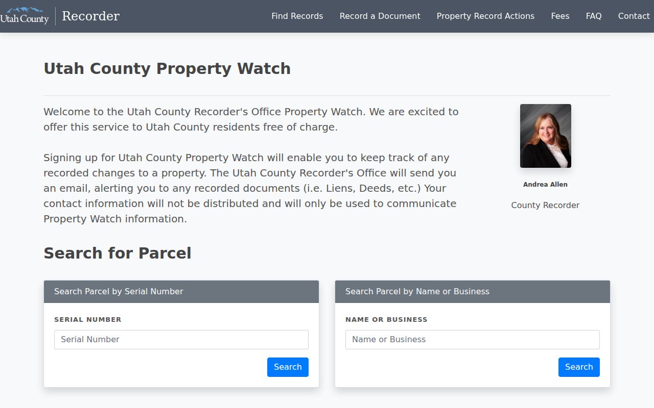
Utah County Property Watch is a separate free alert service for recorded changes. It can warn about activity but is not a fraud-prevention guarantee and does not replace reading the instrument.
Eagle Mountain Neighbor Serials and Plats
For each parcel, write target or adjacent serial, relationship, situs, mailing city and ZIP, owner role, subdivision, phase, plat, tax area, GIS date, and recorder entry. Mark whether the parcel touches, sits across a public street, shares a common tract, or is separated by an easement. Do not combine parcels because they share a subdivision or mailing line.
The legal description is important in Eagle Mountain’s phased development. The county sample uses Arrival, Phase B, Plat 8, and Lot 809. A street number may have an alternate address. A corrected deed or temporary address can make two results look different. Compare the plat and instrument before joining them.
- Adjacent parcel
- A parcel whose mapped boundary touches the target, subject to map limits.
- Common tract
- A shared area such as a road, drainage, trail, or association parcel.
- Situs
- The physical location used for the property record.
- Plat
- A recorded map of lots, phases, roads, and easements.
- Owner role
- The record’s ownership field, which is not the same as occupant.
Use Eagle Mountain GIS Layers
GIS can put a block in context. Toggle parcel, aerial, zoning, precinct, district, and other available layers. Use the city selection or PLSS section, township, and range when an address is unclear. Search owner text when several parcels may share a name, then select a result and Zoom To.
Use the map to locate, compare, and document. Use the Recorder to prove a recorded transfer. The historic parcel tool can show an earlier online system view, but the county warning matters: the date is not a recording date. A map snapshot cannot settle a boundary dispute.
Eagle Mountain Voter Neighbors
The public voter status form requires first name, last name, date of birth, street address, city, and ZIP. It is not a public neighbor browse. A requested file may include residential address, precinct, districts, party or unaffiliated status, active or inactive status, update date, and vote history. Full DOB, phone, email, signature, Social Security number, and identification numbers are protected.
At-risk records are withheld. A voter file can be stale or inactive, and the presence of a registration is not proof of current occupancy. Do not reconstruct a block roster from scattered status checks. If a lawful request is made, specify county, area, dates, fields, and file version.
Find the HOA Covering Eagle Mountain
Utah’s new HOA registry opened September 8, 2025, and supports legal-name, alias, and registration-number searches. Use it to identify an association connected to a subdivision. It is not a public member directory. The older system was available through October 31, 2025, so an archive check may help for an older association.
The Eagle Mountain Property Owners Association governance page lists The Estates, The Heights, Highland Woods, Lakeview, Southridge, Aberdeen Park, Westridge, The Woodlands Phases I and II, Richland Heights, and Woodbridge Pointe, with public plat and covenant links. It does not publish a member roster in the inspected page.
Search the Utah HOA registry for the legal association name, then use its published general channel for a legitimate community question. Do not infer a private member address from an association’s subdivision coverage.
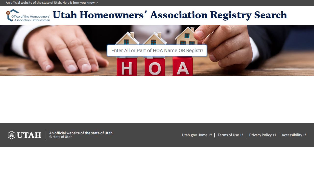
The registry screenshot supports association identification, not a list of Eagle Mountain neighbors.
Eagle Mountain City Code and HOA Rules
Eagle Mountain Neighborhood Improvement enforces city ordinances and directs issue reports through the Resident Portal. The city says it cannot enforce private HOA rules. Use city channels for a public code question and the association for covenants or architectural rules. A public case-by-address search was not located.
Planning documents, development agreements, agendas, and public notices may name applicants, parcels, phases, or projects around a block. An applicant is not necessarily the current owner. Request a specific existing file through the city GRAMA form when the online documents do not answer the date or project question.
Eagle Mountain Block Views
Save the current parcel view and any historic date separately. A parcel can change shape, gain an alternate address, or appear under a new phase label. The historic map date means the parcel entered the online property system then. For ownership history, read the recorder entry and legal description.
A useful block comparison has target serial, adjacent serial, relationship, plat, owner field, map date, recording entry, and notes. Leave a gap visible when the map and deed do not agree. That is better research than forcing a clean story from incomplete records.
Eagle Mountain Neighbor Privacy
No official Eagle Mountain page located a public household directory, HOA member list, congregation roster, or city neighborhood-watch membership list. Parcel geometry is public context. An owner field is a property role. A voter row is a registration record. An association page is a coverage lead. None is a complete list of people inside nearby homes.
Lawful use. Neighbor lookups are for getting to know the block, family research, reconnecting, and personal safety awareness. Do not use a record to stalk, harass, intimidate, surveil, or harm anyone.
Utility and delivery records, DMV data, full DOB, phone, email, signatures, Safe at Home actual addresses, at-risk voter records, sealed cases, and protected plans remain outside a normal block search. If a public record is wrong, contact the custodian. If it is protected, stop rather than seeking a workaround.
Make the Eagle Mountain Block Repeatable
Write down the map date, scale, target serial, search term, visible street names, and every relationship used. Mark touching parcels, parcels across the road, common areas, drainage, trails, and easements. Take current and historic views as separate records.
Then compare each adjacent parcel with its dashboard and the recorded plat. If a shape, owner field, or address changes, note the change and verify it with the Recorder. A reproducible block study is more useful than a long list with no boundary method. Note the date and the source for every field. That record lets a later reader see which facts came from the map, the county card, the plat, or the recorder, and which details were not available. If a parcel crosses a phase, road, or common tract, add that fact to the relationship column. It explains why a nearby owner, association, or public notice may relate to the block without describing a private home or household there.
Separate Eagle Mountain People From Parcels
A parcel can be linked to an owner, a recorded party, a business, an association, or a planning applicant. Those links describe roles in records. They do not identify every resident, visitor, household member, or person nearby.
When a name matters, use a second stable identifier and respect protected records. When a community question matters, use the association’s general channel or a city public meeting notice. Do not infer a private contact from a public map.